Aerial Views. Elevated Listings.
Drone Real Estate Photography
Show buyers the bigger picture with drone real estate photography from Nevada-based TourDSpace. We serve Reno / Tahoe, Las Vegas, Sacramento, Denver, Pittsburgh, Columbus, and Northeast Ohio, including Cleveland.
Showcase the property setting, outdoor features, and surrounding area with aerial images planned around your listing. Confirm coverage and available drone photography services for your address when booking.
A Better Perspective
Aerial Real Estate Photography That Shows the Setting
Ground-level photography introduces the rooms and details. Aerial real estate photography adds the setting: the building's position, outdoor spaces, access, and relationship to the surrounding area. Together, these views help buyers understand the property more clearly.
Based in Nevada, TourDSpace provides drone property photography for listings across our service markets. Whether you are presenting a home, a land parcel, or a commercial property, the brief guides which aerial perspectives will be useful for the campaign.
Drone photos for real estate can complement interior and exterior images on property pages, agent websites, and listing presentations. Choose the coverage around the property's features rather than adding aerial images simply for a different angle.
Professional Aerial Media
Drone Services for Real Estate Marketing
Explore aerial coverage for your Nevada listing or a property in another TourDSpace market. Our drone services for real estate are planned around the property, the intended marketing uses, and the conditions at the location.
Residential Listings
Drone house photography can show the roofline, outdoor living areas, landscaping, and the relationship between the home and its lot. Select views that complement the ground-level photographs and help buyers understand the property setting.
Luxury Properties
Aerial property photography can bring larger homes, outdoor amenities, and surrounding landscapes into one frame. Plan views that communicate the setting and connect the main building with the spaces that support the listing story.
Land and Development
Use elevated views to introduce terrain, visible access routes, and the surrounding setting. Photography provides visual context; any boundary labels should be based on verified information, and images do not establish legal property boundaries.
Commercial Real Estate
Show building placement, parking areas, visible access points, and nearby development. Real estate drone imagery can support a location overview while helping viewers see how the property relates to its surroundings.
Still Images and Moving Perspectives
Aerial Photos and Drone Videos for Real Estate
For a Nevada property or a listing in another service market, aerial photos and video can serve different campaign needs. Ask which options are available for your address and package.
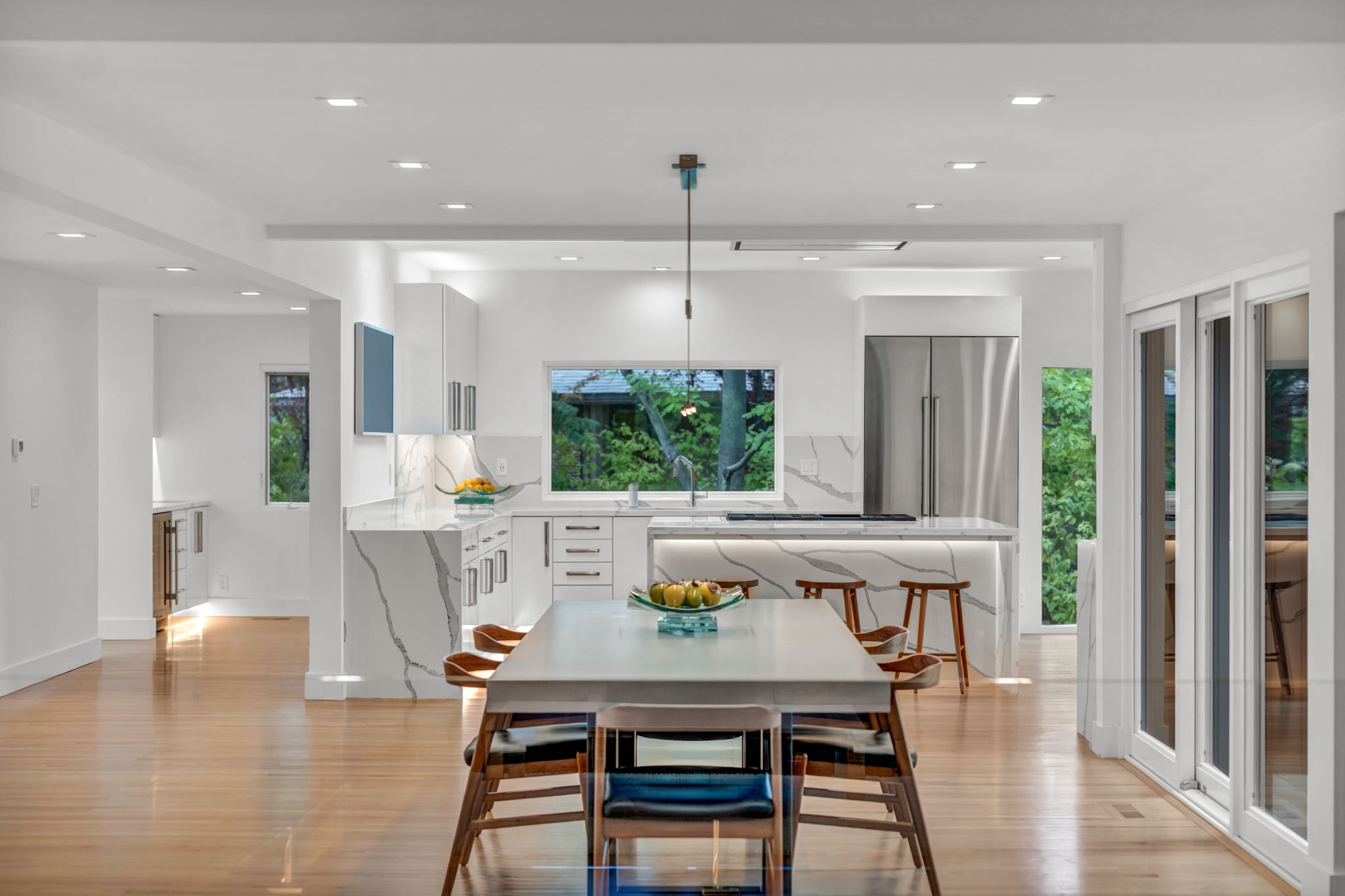
Still images offer a view buyers can study, while drone videos for real estate can introduce the approach to a property and connect the building with its setting. Aerial video may also complement a wider property video when included in the agreed production.
Discuss still photography, aerial footage, and intended file formats before booking. Flight conditions and the selected package determine the coverage that can be captured.
TourDSpace Portfolio
Explore Aerial Property Photography
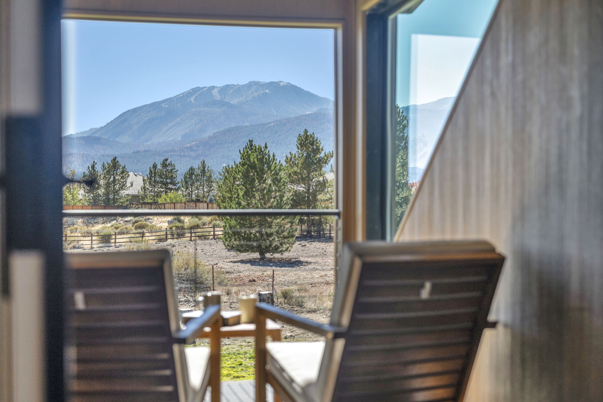
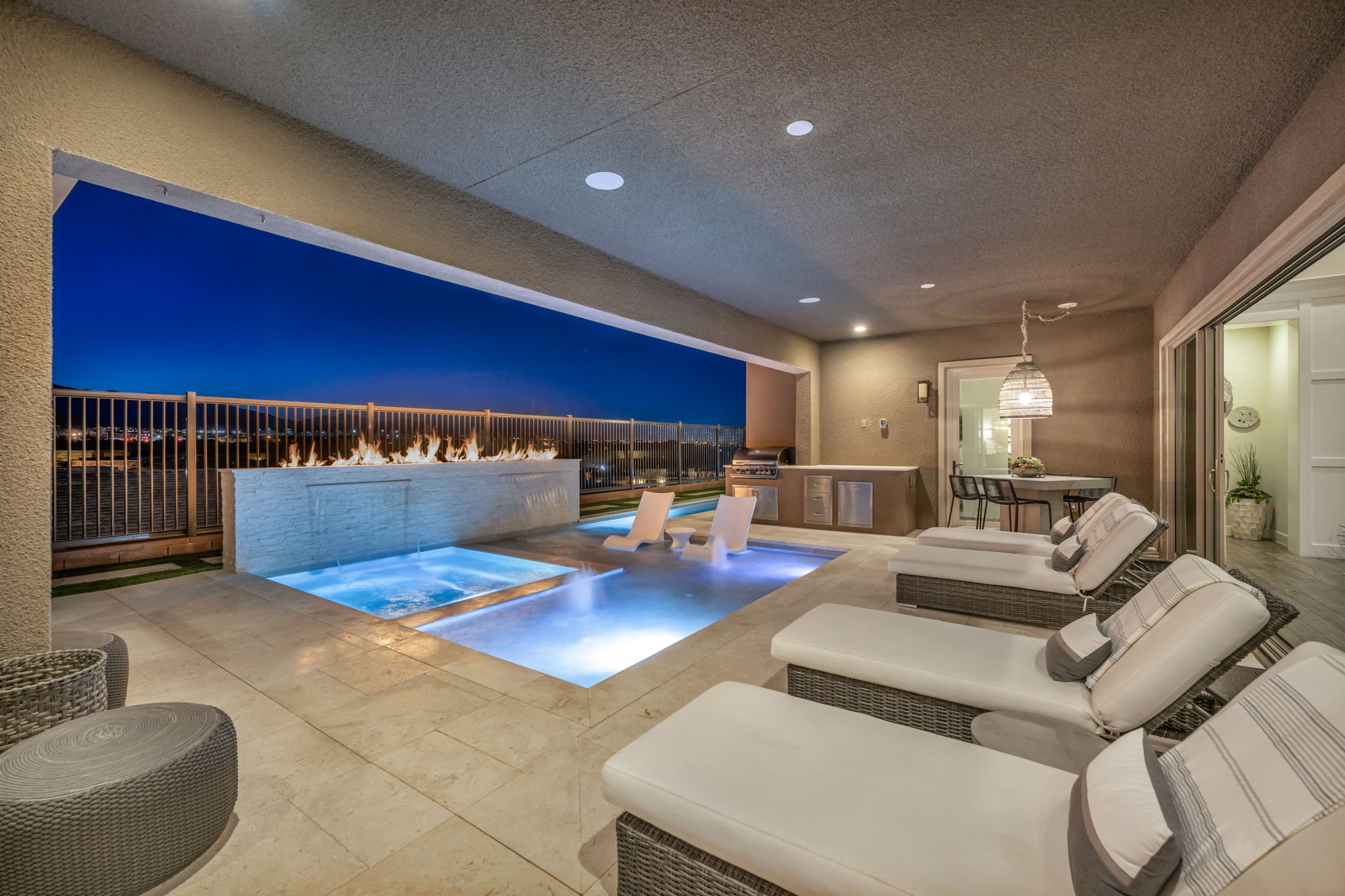
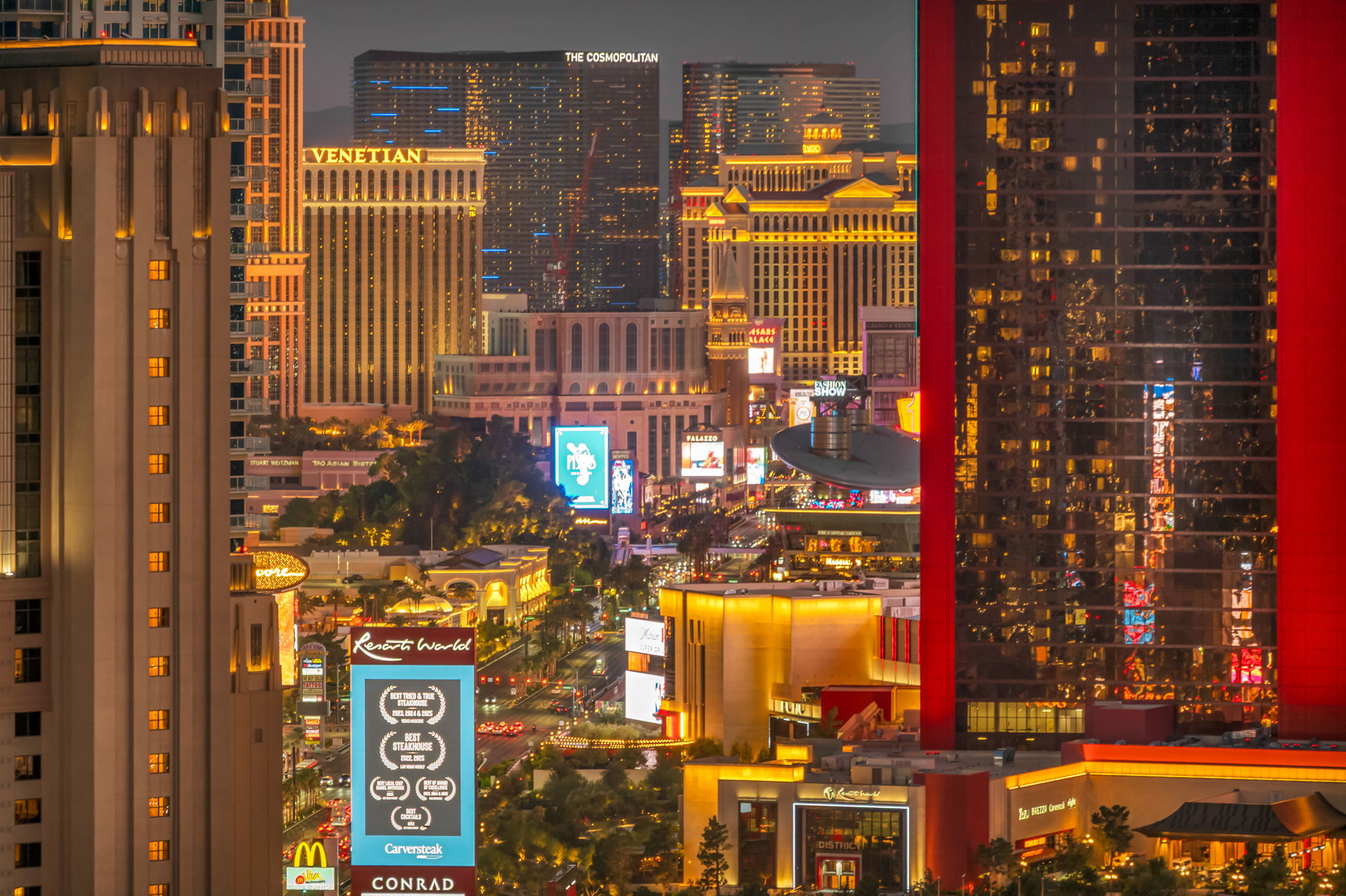
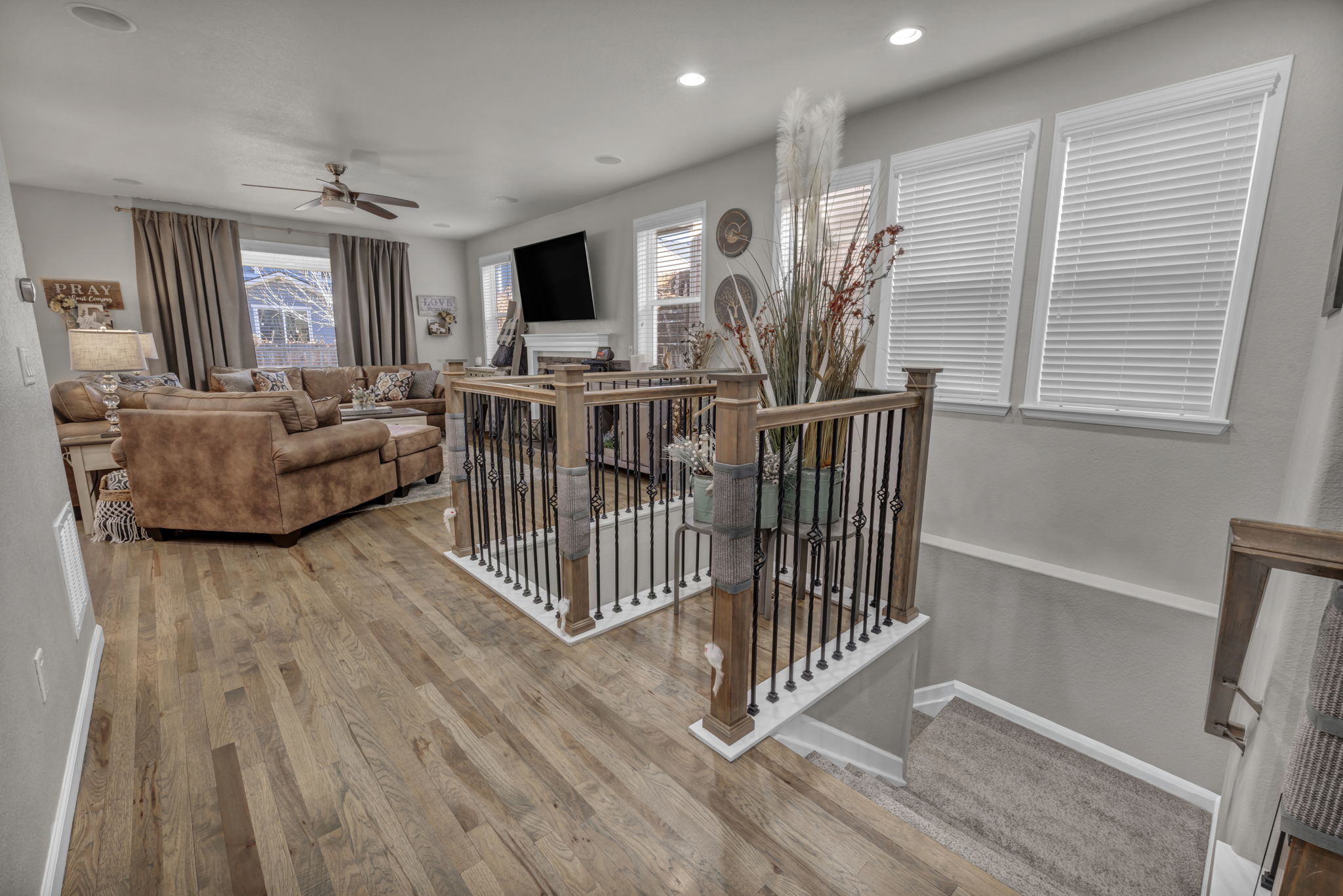
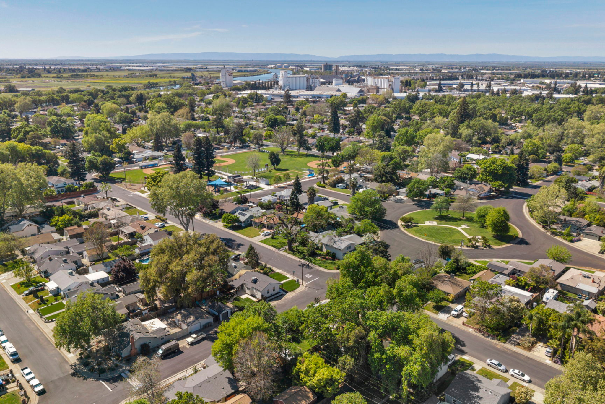
Browse aerial and elevated imagery from the TourDSpace portfolio. For your Nevada listing or another local market, use these examples to discuss the perspectives you would like included in your property media brief.
Useful Perspectives for Buyers
Give Buyers the Context They Need
A real estate drone photographer plans views around the questions a buyer may have: Where does the home sit on the lot? How do the outdoor areas connect? What can be seen around the property? The purpose is to make the listing easier to explore.
For Nevada listings and properties across our other markets, effective aerial coverage should add information to the campaign. Clear, relevant perspectives are more useful than a collection of similar overhead shots.
- Show the relationship between buildings and outdoor spaces.
- Highlight visible pools, landscaping, and outdoor amenities.
- Introduce the surrounding setting and visible access routes.
- Complement interior and exterior listing photography.
- Provide additional perspectives for property marketing.
Simple From Start to Finish
Plan Your Drone Real Estate Photography Shoot
Booking in Nevada or another TourDSpace market? Start with your address and intended coverage so local availability and flight conditions can be considered.
-
1
Choose Your Market and Coverage
Share the property address, listing type, and requested aerial photography or video. Confirm coverage, package options, and timing before scheduling.
-
2
Plan the Aerial Brief
Identify the building, outdoor features, and surrounding context you want shown. Share any access restrictions and verified information needed for requested labels.
-
3
Capture and Edit
The team captures the agreed perspectives when conditions allow and prepares the selected images or footage for the booked deliverables.
-
4
Prepare Your Listing Campaign
Use the agreed files across your property marketing channels. Confirm delivery timing, usage terms, and platform requirements before the listing launch.
Find Your Local Market
Drone Real Estate Photography in Nevada and Our Other Markets
TourDSpace is based in Nevada and serves Reno / Tahoe, Las Vegas, Sacramento, Denver, Pittsburgh, Columbus, and Northeast Ohio, including Cleveland. Availability depends on the address, selected service, and flight conditions.
Nevada
Explore drone real estate photography in our Nevada service markets, including Reno and Las Vegas. Confirm coverage for your property address rather than assuming availability across the entire state.
Check Nevada AvailabilityReno / Tahoe
Plan aerial coverage for your Reno / Tahoe listing. Share the address and the outdoor features or setting you want shown so availability and coverage can be confirmed.
Check Reno / Tahoe AvailabilityLas Vegas
Arrange drone property photography for your Las Vegas-area listing. Discuss still images, any requested aerial video, and local appointment options before booking.
Check Las Vegas AvailabilitySacramento
Explore aerial real estate photography in the Sacramento market. Provide the property address and your campaign needs to confirm the available photography options.
Check Sacramento AvailabilityDenver
Plan drone photography services for your Denver-area property. Confirm the local package and discuss views that will complement your interior and exterior photographs.
Check Denver AvailabilityPittsburgh
Arrange aerial property photography in the Pittsburgh market. Share access details and your preferred coverage so the appointment can be planned around the listing.
Check Pittsburgh AvailabilityColumbus
Check real estate drone photography options for your Columbus-area listing. Confirm address coverage, available deliverables, and the appointment schedule.
Check Columbus AvailabilityNortheast Ohio / Cleveland
Explore drone photography services in Northeast Ohio, including Cleveland. Provide the specific property address to check local availability and discuss the requested aerial coverage.
Check Northeast Ohio AvailabilityBefore You Book
Drone Real Estate Photography FAQs
What is included in drone real estate photography?
Coverage may include elevated still images of the building, outdoor spaces, visible access routes, and the surrounding setting. The number of images, requested angles, video options, and delivery formats depend on your selected market and package. Confirm the included deliverables before booking.
Which areas does TourDSpace serve for aerial photography?
TourDSpace is based in Nevada and serves Reno / Tahoe and Las Vegas, along with Sacramento, Denver, Pittsburgh, Columbus, and Northeast Ohio, including Cleveland. Confirm availability for your property address; being in a service market does not guarantee that aerial coverage is possible at every location.
How are drone photography prices calculated?
Drone photography prices can vary by market, property, requested coverage, and whether aerial video or other media is included. For real estate drone photography pricing, review the available booking options or request a quote for your address. Confirm the total cost, included deliverables, and any applicable travel or additional service charges before scheduling.
What is the best drone for real estate photography?
The best drone for real estate photography depends on the shoot requirements, image quality needed, site conditions, and operator experience. There is no single best drone for real estate in every situation. When booking a service, focus on the photographer's portfolio, planned coverage, and final deliverables as well as the equipment.
Can I combine drone photos with interior and exterior photography?
Yes. Drone photos for real estate can be booked alongside available ground-level property photography. Discuss the complete package so the interior, exterior, and aerial coverage work together and the appointment scope is clear.
Do you offer drone videos for real estate?
Aerial video may be available in selected markets and packages. Ask about drone videos for real estate when booking, including the intended length, format, and whether the footage will be delivered separately or incorporated into a property video.
What can affect a scheduled drone shoot?
Weather, wind, airspace restrictions, nearby obstacles, property access, and flight conditions can affect timing or available coverage. The requested aerial views may need to be adjusted, postponed, or omitted when conditions do not allow the planned shoot. Confirm scheduling arrangements with the local team.
How should I prepare the property, and when will I receive the images?
Prepare the outdoor areas you want photographed, tidy visible spaces, and arrange any required property access. Share key features and access restrictions before the appointment. Delivery timing depends on the market and booked package; confirm the expected turnaround and file formats before scheduling, especially if you have a listing launch date.
A Better View of Your Next Listing
Book Drone Real Estate Photography
Plan aerial photography for your next Nevada listing or a property in another TourDSpace market. Share the address, choose the available service options, and bring the property setting into your marketing story.